Svarmi Professional Training
Beherrschen Sie Ihre Daten von der Erfassung bis zur Analyse
Wir bei Svarmi glauben daran, unsere Kunden zu stärken. Wir bieten nicht nur modernste Datenverarbeitung an, sondern bieten auch von Experten geleitete Schulungen an, die Ihrem Team die Fähigkeiten vermitteln, Ihren gesamten Mapping-Workflow souverän zu verwalten. Unsere Kurse basieren auf jahrelanger Feld- und Softwareerfahrung und stellen sicher, dass Sie praktische und effektive Techniken erlernen. Wählen Sie ein spezielles Modul oder kombinieren Sie sie zu einer ganztägigen Intensivschulung.


Modul 1
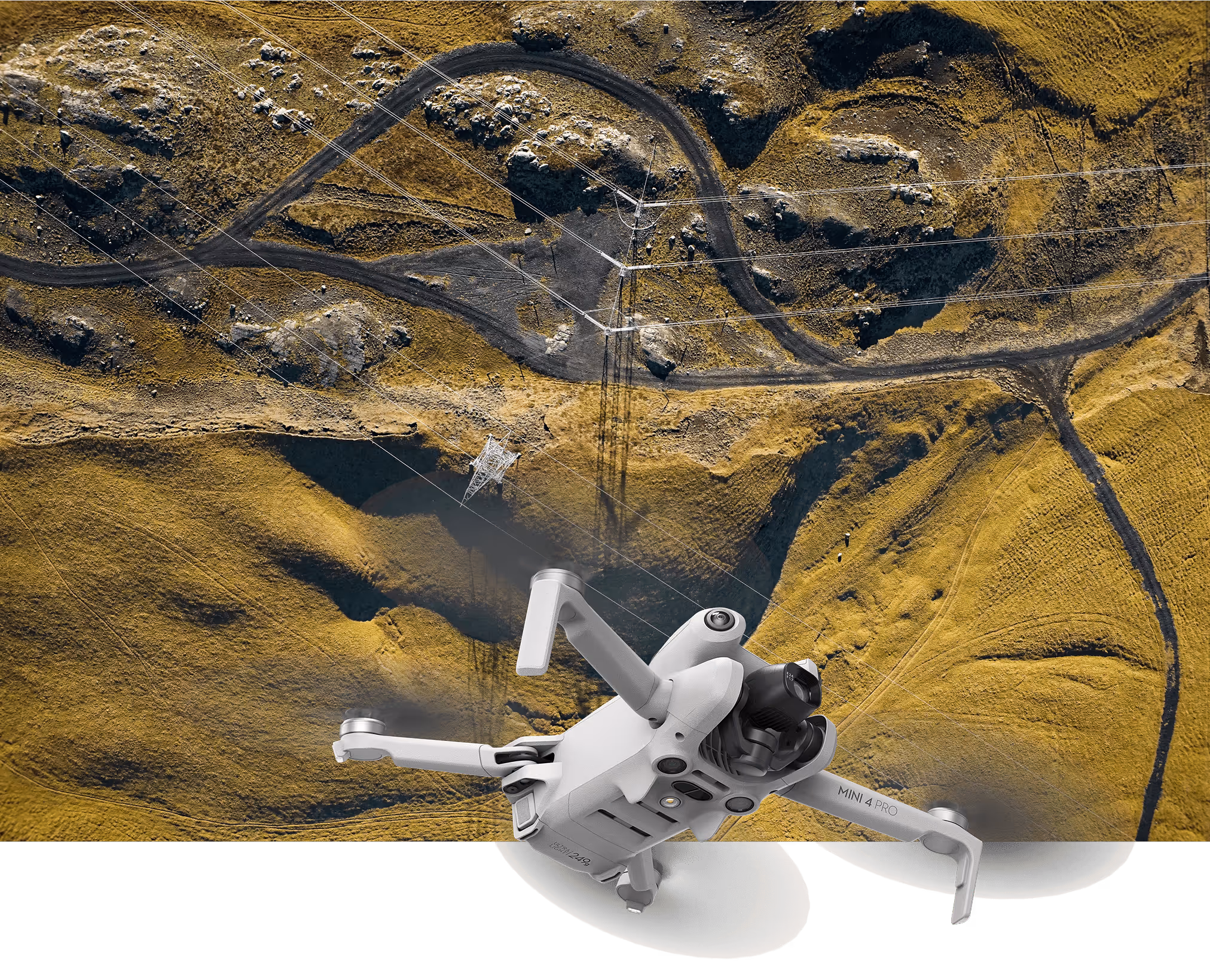
Schwarze Drohne Operationen & Kartierung Kurs
Globale Erfahrung, Naturpositiv I
Bei Svarmi sind wir Experten für die Durchführung komplexer Drohnenkartierungsprojekte. Wir glauben auch daran, unsere Kunden zu stärken. Unser professioneller Drohnenkurs basiert auf jahrelanger Felderfahrung und soll Ihrem Team die Fähigkeiten vermitteln, mit unserer leistungsstarken DATACT-Photogrammetrie-Engine selbstbewusst und sicher hochwertige Daten für Ihre eigenen Projekte zu sammeln. Egal, ob Sie gerade erst anfangen, Ihre Fähigkeiten auffrischen müssen oder schnell einen neuen Piloten ausbilden müssen, dieser Kurs bietet die grundlegende Grundlage für operative Exzellenz.
Für wen ist dieser Kurs geeignet?
Dieser Kurs ist ideal für:
- Unternehmen auf der Suche nach dem Aufbau interner Funktionen zur Drohnenkartierung.
- Neue Piloten die eine umfassende Einführung in die professionelle Datenerfassung benötigen.
- Bestehende Piloten die sich über bewährte Verfahren und aktuelle EU-Vorschriften auffrischen möchten.
- Mannschaften mit dem Ziel, die Abwanderung von Fachkräften durch ein standardisiertes Schulungsprogramm für neue Mitarbeiter zu verringern.
Was du lernen wirst
- Beherrschung der EU-Drohnenvorschriften — Fliegen Sie legal und sicher. Wir befassen uns eingehend mit den neuesten EU-Vorschriften und decken Betriebskategorien, Risikobewertungen und Compliance-Anforderungen ab, damit Sie mit Zuversicht arbeiten können.
- Grundlagen von Flight & Operations — Gehen Sie über die Grundlagen hinaus. Lernen Sie wichtige Kontrollen vor dem Flug, Missionsplanung und sichere Betriebsverfahren kennen, die auf professionelle Umgebungen zugeschnitten sind.
- Präzise Datenerfassung für die Photogrammetrie — Das ist unser Kernfokus. Erfahren Sie, wie Sie automatisierte Flüge planen und ausführen, die Daten erfassen, die perfekt für die Erstellung genauer 3D-Modelle und Orthomosaiken in DATACT optimiert sind. Wir behandeln optimale Höhen, Kameraeinstellungen, Bildüberlappungen und Flugmuster.
- Einführung in fortgeschrittene Techniken — Verschaffen Sie sich einen Einblick in die Datenerfassung der nächsten Generation, einschließlich Techniken zur Erstellung beeindruckender 360°-Photogrammetrie und zum Verständnis ihrer Anwendungen.
- Sicherstellung qualitativ hochwertiger, genauer Daten — Verstehen Sie, was Daten wirklich wertvoll macht. Wir behandeln die Grundlagen der Datengenauigkeit, einschließlich der Bedeutung von Bodenkontrollpunkten (GCPs) und wie Sie sicherstellen können, dass Ihre Ergebnisse professionellen Standards entsprechen.
- Vom Feld bis zum Ende: Der DATACT Workflow — Schließen Sie den Kreislauf, indem Sie erfahren, wie die von Ihnen gesammelten Daten verarbeitet werden. Wir unterstützen Sie bei der Vorbereitung und dem Hochladen Ihrer Bilder auf die Svarmi DATACT-Plattform, um Ihre eigenen Karten und 3D-Modelle zu erstellen.
Module 2
DATACT Data & Analytics Masterclass
Global Experience, Nature-Positive I
Collecting data is only the first step. This course empowers your team to become true experts in understanding, analyzing, and leveraging the powerful datasets generated by our DATACT platform. Move beyond the visuals and learn to harness the full analytical power of your geospatial data.This is the perfect way for your company to get started with DATACT and ensure your team can confidently work with the data from day one.

Who is this course for?
This masterclass is designed for a broad spectrum of professionals who interact with geospatial data, regardless of their starting skill level. It is ideal for:
- Field Experts in sectors like nature conservation, agriculture, and infrastructure who need to understand and utilize the data from their projects.
- Project Managers responsible for making decisions based on data outputs and overseeing mapping projects.
- GIS Users of all levels, from beginners wanting a solid foundation to specialists looking to optimize their workflow with DATACT data.
- Companies and Teams looking for a structured onboarding to the DATACT platform.
What You Will Learn
- DATACT Platform Fundamentals – Master the interface. We cover all the basics of navigating the platform, managing your projects, and utilizing all core functions.
- Understanding Your Data – Learn to critically assess your results. We'll explore data quality metrics, accuracy reports, and the pros and cons of different sensor types (drones, satellites, planes).
- Advanced Data Integration – Unlock the power of connectivity. Learn how to connect data from DATACT directly into GIS software like QGIS. We will cover connecting to and working with PostGIS databases if this is part of your company's setup.
- Data Analysis & Application – Go from data to actionable insights. Learn how to perform measurements, generate reports, and prepare your data for use in third-party software.
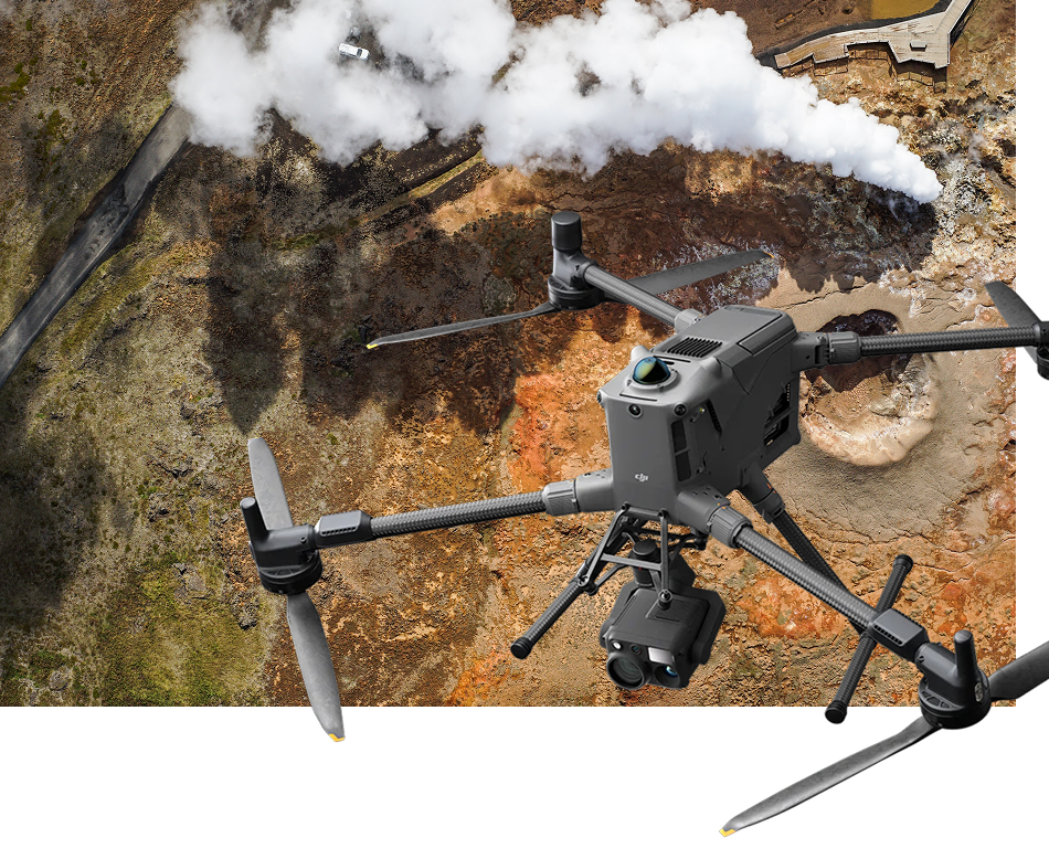
Module 3
Advanced drone operation, STS Course.
Global Experience, Nature-Positive I
Svarmi is proud to be the first in Iceland to offer advanced STS (Standard Scenario) drone certification. This training provides a unique opportunity to expand your operational capabilities, allowing you to fly in complex environments using C5 andC6 class aircraft.
Upon securing your A1/A3 or A2 credentials, you are eligible to advance into our Specific Category training.
Who is this course for?
This course is ideal for:
This specialized program is designed for professional pilots aiming to operate in complex environments:
- STS-01: Focused on Visual Line of Sight (VLOS) operations in populated urban areas using C5-class aircraft (such as Matrice400+C5 kit).
- STS-02: Focused on Beyond Visual Line of Sight (BVLOS) operations in sparsely populated areas using C6-class aircraft (such as DJI DOCK).
What You Will Learn
Practical Assessment & Validation

Course Formats & Bundles
We offer flexible training options to suit your team's needs. All attendees receive the course materials after completion to use at their own pace.
Bundle & Save
- Private Company Training - We can deliver our courses in person, exclusively for your team, at your offices or another convenient location. This format requires a minimum attendance of 4 people and allows us to tailor content to your specific projects.
- Public Courses - We regularly schedule courses open to the public. Anyone can sign up and attend. See our upcoming dates below.
- Private Company Training - We can deliver our courses in person, exclusively for your team, at your offices or another convenient location. This format requires a minimum attendance of 4 people and allows us to tailor content to your specific projects.
- Already a DATACT User? Existing DATACT subscribers receive an exclusive discount on all our training courses. Contact us for your code!
Register Your Interest
Register below to be notified of our next available course dates or to inquire about a private training session for your company.