Svarmi Professional Training
Master Your Data from Capture to Analysis
At Svarmi, we believe in empowering our customers. Beyond providing cutting-edge data processing, we offer expert-led training designed to give your team the skills to confidently manage your entire mapping workflow. Our courses are built on years of field and software experience, ensuring you learn practical, effective techniques. Choose a specialized module or combine them for a full-day intensive training session.


Module 1
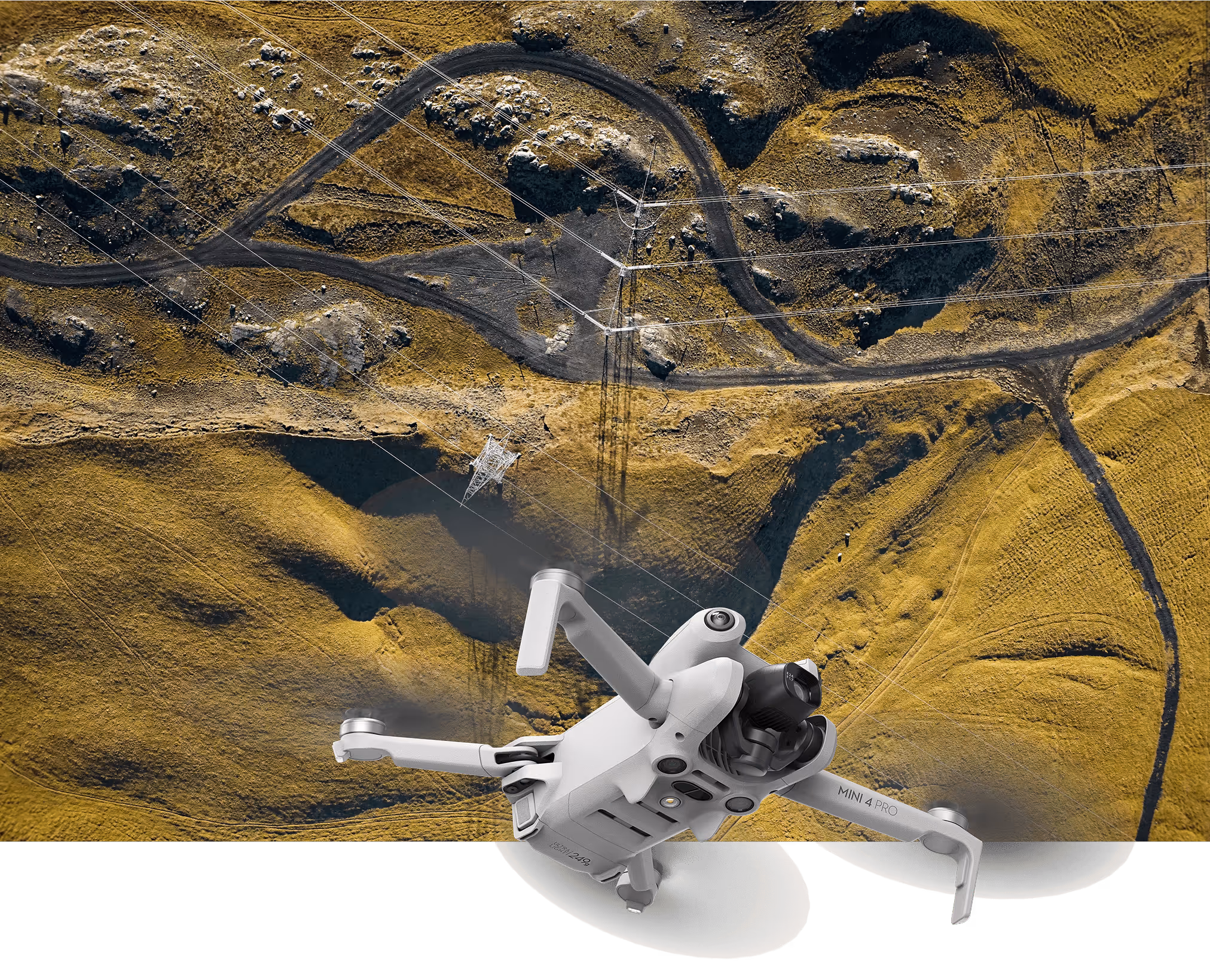
Svarmi Drone Operations & Mapping Course
Global Experience, Nature-Positive I
At Svarmi, we are experts in executing complex drone mapping projects. We also believe in empowering our customers. Our professional drone course is built on years of field experience, designed to give your team the skills to confidently and safely collect high-quality data for your own projects using our powerful DATACT photogrammetry engine. Whether you are just starting, need to refresh your skills, or need to quickly train a new pilot, this course provides the essential foundation for operational excellence.
Who is this course for?
This course is ideal for:
- Companies looking to build in-house drone mapping capabilities.
- New Pilots who need a comprehensive introduction to professional data acquisition.
- Existing Pilots who want a refresher on best practices and current EU regulations.
- Teams aiming to mitigate "braindrain" by having a standardized, expert training program fornew staff.
What You Will Learn
- Mastering EU Drone Regulations – Fly legally and safely. We dive deep into the latest EU rules, covering operational categories, risk assessments, and compliance requirements so you can operate with confidence.
- Foundations of Flight & Operations – Go beyond the basics. Learn essential pre-flight checks, mission planning, and safe operating procedures tailored for professional environments.
- Precision Data Collection for Photogrammetry – This is our core focus. Learnhow to plan and execute automated flights that capture data perfectly optimized for creating accurate 3D models and orthomosaics in DATACT. We cover optimal altitudes, camera settings, image overlap, and flight patterns.
- Introduction to Advanced Techniques – Get a glimpse into next-level data capture, including techniques for creating stunning 360° photogrammetry and understanding its applications.
- Ensuring High-Quality, Accurate Data – Understand what makes data truly valuable. We will cover the fundamentals of data accuracy, including the importance of Ground Control Points (GCPs) and how to ensure your results meet professional standards.
- From Field to Finish: The DATACT Workflow – Close the loop by learning how the data you collect is processed. We'll guide you on preparing and uploading your imagery to the Svarmi DATACT platform to generate your own maps and 3D models.
Module 2
DATACT Data & Analytics Masterclass
Global Experience, Nature-Positive I
Collecting data is only the first step. This course empowers your team to become true experts in understanding, analyzing, and leveraging the powerful datasets generated by our DATACT platform. Move beyond the visuals and learn to harness the full analytical power of your geospatial data.This is the perfect way for your company to get started with DATACT and ensure your team can confidently work with the data from day one.

Who is this course for?
This masterclass is designed for a broad spectrum of professionals who interact with geospatial data, regardless of their starting skill level. It is ideal for:
- Field Experts in sectors like nature conservation, agriculture, and infrastructure who need to understand and utilize the data from their projects.
- Project Managers responsible for making decisions based on data outputs and overseeing mapping projects.
- GIS Users of all levels, from beginners wanting a solid foundation to specialists looking to optimize their workflow with DATACT data.
- Companies and Teams looking for a structured onboarding to the DATACT platform.
What You Will Learn
- DATACT Platform Fundamentals – Master the interface. We cover all the basics of navigating the platform, managing your projects, and utilizing all core functions.
- Understanding Your Data – Learn to critically assess your results. We'll explore data quality metrics, accuracy reports, and the pros and cons of different sensor types (drones, satellites, planes).
- Advanced Data Integration – Unlock the power of connectivity. Learn how to connect data from DATACT directly into GIS software like QGIS. We will cover connecting to and working with PostGIS databases if this is part of your company's setup.
- Data Analysis & Application – Go from data to actionable insights. Learn how to perform measurements, generate reports, and prepare your data for use in third-party software.
Module 3
Advanced drone operation, STS Course.
Global Experience, Nature-Positive I
Svarmi is proud to be the first in Iceland to offer advanced STS (Standard Scenario) drone certification. This training provides a unique opportunity to expand your operational capabilities, allowing you to fly in complex environments using C5 andC6 class aircraft.
Upon securing your A1/A3 or A2 credentials, you are eligible to advance into our Specific Category training.
Who is this course for?
This course is ideal for:
This specialized program is designed for professional pilots aiming to operate in complex environments:
- STS-01: Focused on Visual Line of Sight (VLOS) operations in populated urban areas using C5-class aircraft (such as Matrice400+C5 kit).
- STS-02: Focused on Beyond Visual Line of Sight (BVLOS) operations in sparsely populated areas using C6-class aircraft (such as DJI DOCK).
What You Will Learn
Practical Assessment & Validation

Course Formats & Bundles
We offer flexible training options to suit your team's needs. All attendees receive the course materials after completion to use at their own pace.
Bundle & Save
- Private Company Training - We can deliver our courses in person, exclusively for your team, at your offices or another convenient location. This format requires a minimum attendance of 4 people and allows us to tailor content to your specific projects.
- Public Courses - We regularly schedule courses open to the public. Anyone can sign up and attend. See our upcoming dates below.
- Private Company Training - We can deliver our courses in person, exclusively for your team, at your offices or another convenient location. This format requires a minimum attendance of 4 people and allows us to tailor content to your specific projects.
- Already a DATACT User? Existing DATACT subscribers receive an exclusive discount on all our training courses. Contact us for your code!
Register Your Interest
Register below to be notified of our next available course dates or to inquire about a private training session for your company.