Nature Data Management Service
Executive Summary
For organizations that impact, depend on, or seek to protect nature—whether through infrastructure development, Environmental Impact Assessments (EIAs), nature-based solutions, or sustainability reporting—reliable environmental data is their most critical asset.
Our Service Philosophy
Your Data, Demystified
Our approach is built on three core principles:

001
Empowering Your Mission
We handle the technical complexity so you don't have to. Whether you need a full-service team or expert advisors, our goal is to make your data work for you.
002
Building Your Digital Twin
Our services are built around our proprietary DATACT software and custom PostGIS database solutions. This integrated design is the engine that constructs and powers your Digital Twin, creating a seamless, powerful, and unified ecosystem for all your field data.
003
Future-Proofing Your Assets
We ensure your Digital Twin and its underlying data are not only useful today but remain secure, discoverable, and viable for decades, meeting all legal, regulatory, and historical preservation requirements.

Core Service Offerings
A Modular Approach
We offer our services in distinct phases, allowing you to engage us for the full lifecycle or for specific needs.
PHASE 1
Strategic Project & Data Planning(Advisory & Workshops)
Service 1.1 – Data Management Planning (DMP) Workshop:
We cover:
- Defining project objectives and the specific data layers needed for your Digital Twin (e.g., Do you need LiDAR or will drone photogrammetry suffice?).
- Establishing standardized collection protocols for field teams.
- Outlining data formats, quality standards, and metadata requirements.
Service 1.2 – Technology & Tooling Consultation:
We cover:
- Recommending appropriate field equipment.
- Designing your DATACT software configuration and a custom PostGIS database schema to serve as the backbone of your Digital Twin.
- Guidance on field-to-office data transfer workflows.
Service 1.3 – Governance & Preservation Blueprint:
We cover:
- Data Governance Framework: Defining data ownership and usage rules.
- Data Preservation Plan (DPP): Creating the formal plan for secure, long-term archival of your Digital Twin and its source data.
PHASE 2
Strategic Project & Data Planning(Advisory & Workshops)
Service 2.1 – Data Acquisition Strategy & Coordination:
We offer flexible support models:
- Contractor Management: We assist in finding qualified contractors and defining technical requirements.
- Client Team Enablement: We provide your internal teams with the protocols and training to collect high-quality data.
- Hybrid Team Coordination: We manage complex projects with multiple data collection teams
Service 2.2 – Managed Data Ingestion:
We handle: All data types, including photos, videos, point clouds, orthoimages, and sensor data, ensuring everything is correctly structured and linked to build a cohesive dataset.
We provide a custom QGIS plugin that facilitates the upload of polygons,lines, and points directly into the PostGIS database. This plugin allows users to include custom metadata with their data uploads, ensuring relevant information is captured. Once uploaded, these layers becomeimmediately visible within DATACT and can be toggled on or off by the user.
Service 2.3 – Data Quality Assurance & Validation:
We perform: Checks for corrupt files, validation of geospatial accuracy, and metadata completeness checks.
PHASE 3
Digital Twin Construction,
Analysis & Visualization
Service 3.1 – Geospatial Foundation Modeling:
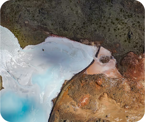
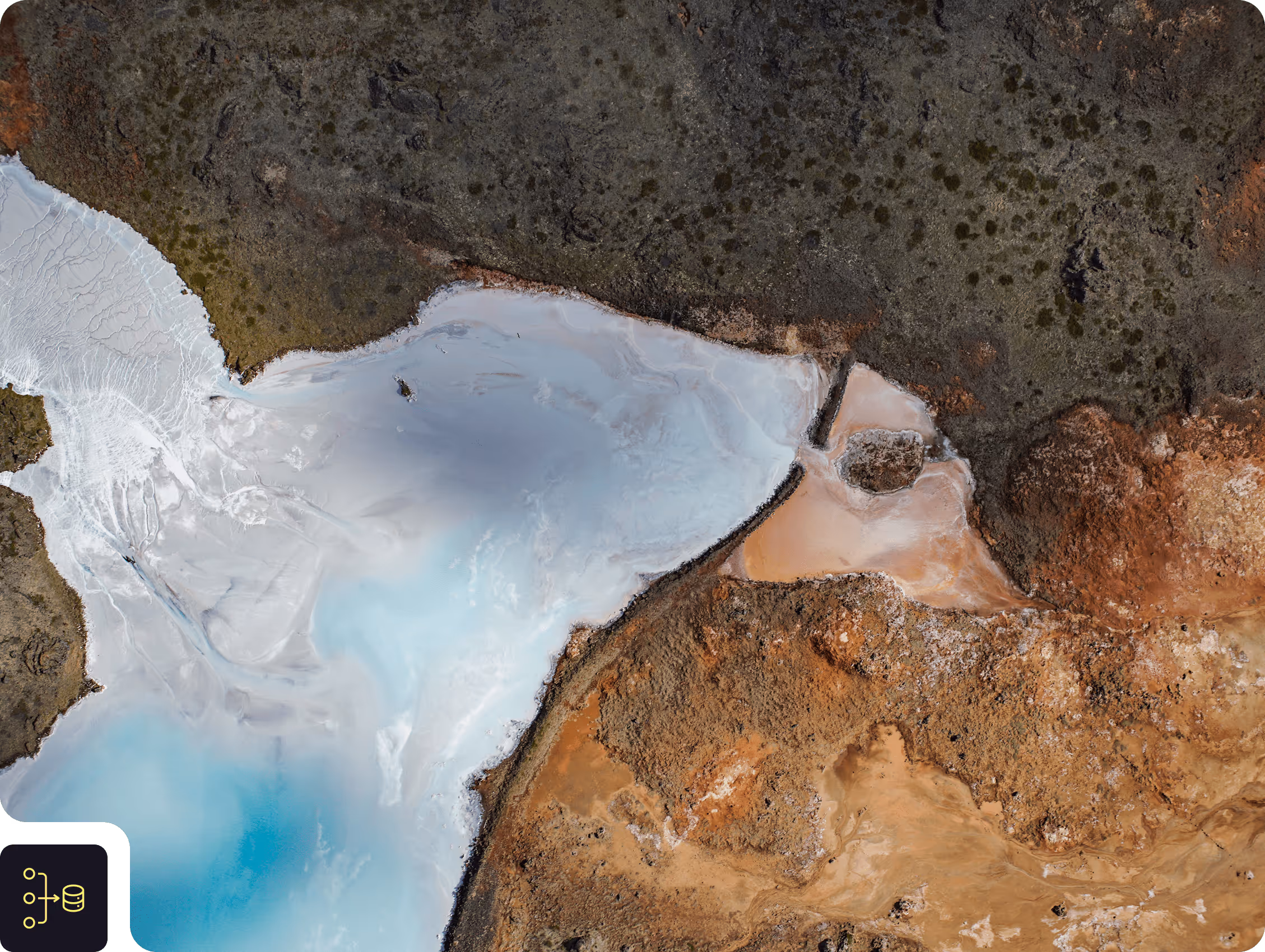
We create: High-resolution orthoimages, Digital Surface Models (DSMs), Digital Terrain Models (DTMs), contour lines, and dense 3D point clouds (LAS/LAZ).
Service 3.2 – Managed Data Ingestion:
We analyze:
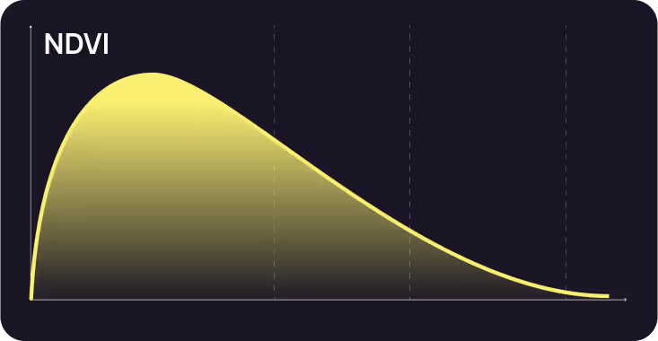
- Vegetation health indices (e.g., NDVI).
- Automated species identification from camera trap images.
- Change detection analysis to monitor infrastructure or habitat over time.
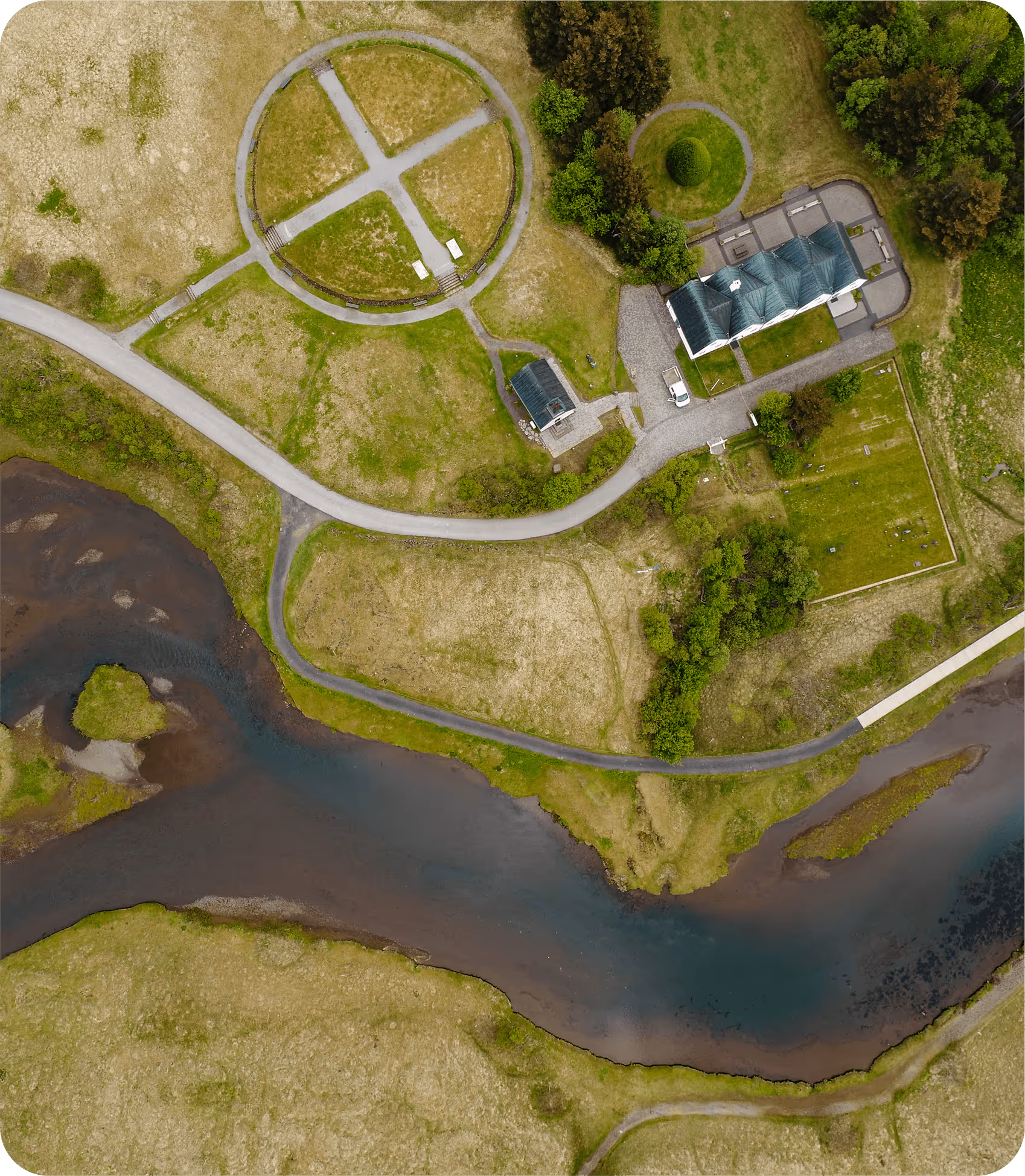
Service 3.3 – Interactive Digital Twin Interface:
We leverage: The power of your PostGIS database to serve interactive maps showing project boundaries, asset locations, photos, 3D models, and analysis results in a single, unified view.
PHASE 4
Digital Twin Archival
& Compliance
Service 4.1 – Archival Packaging & Implementation:
We manage: Packaging all project data—including the raw source files and the final state of your Digital Twin at key milestones—into logical, immutable archival units and securely uploading them to AWS S3 GlacierDeep Archive or Google Cloud Storage Archive.
Service 4.2 – Recovery Drills & Audits:
We conduct: The biennial recovery drills mandated by the DPP, providing you with a formal audit report to demonstrate compliance and data integrity to stakeholders or regulators.
Flexible Delivery Models
We understand that every client has different needs and capabilities. We offer our services in three flexible models: