Map it. Digitize it. Manage it.
In short
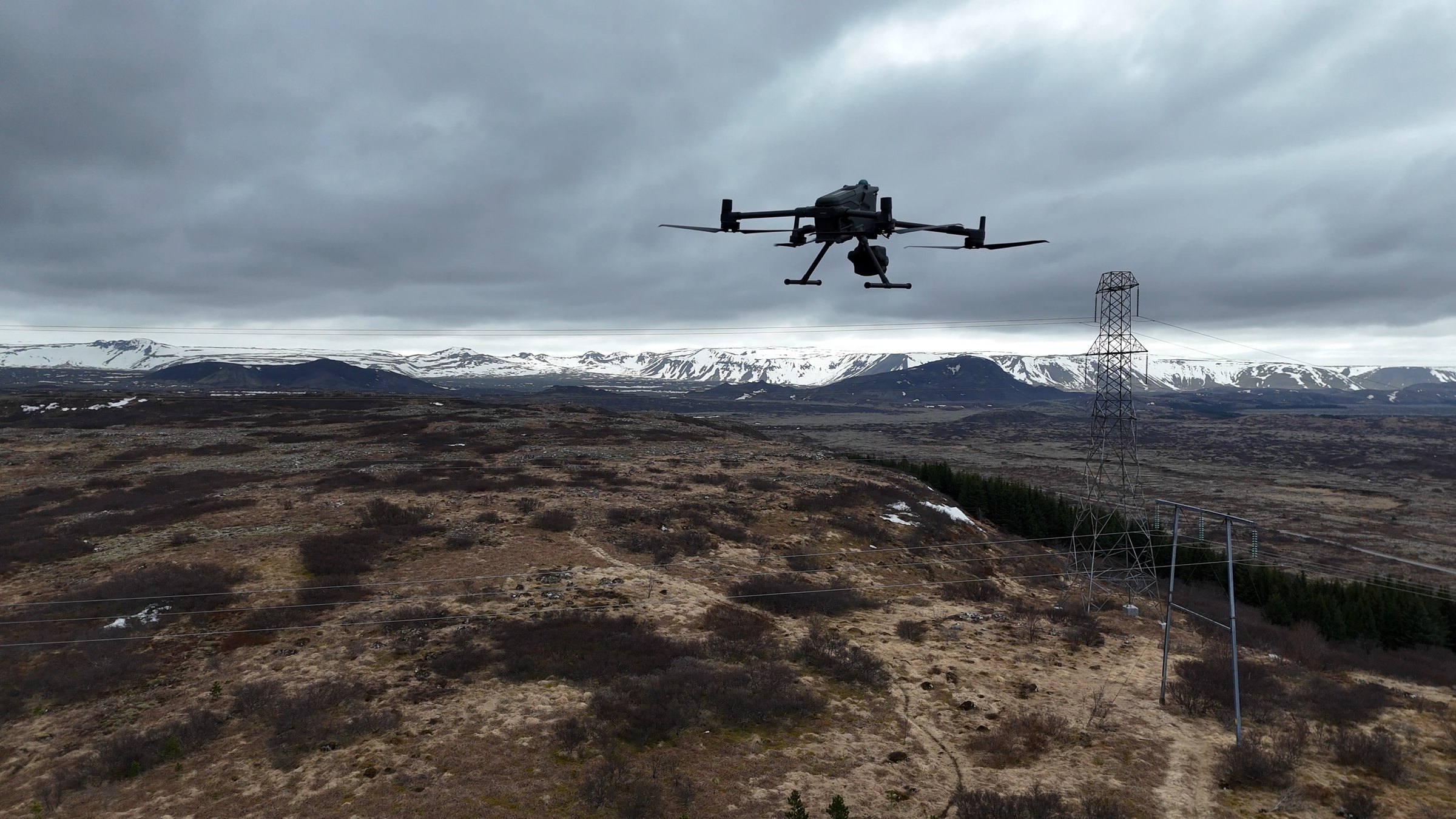
We map your whole property with drones, turn the hidden infrastructure into proper data, and give you a platform to manage it. The knowledge ends up in your system instead of in someone's head. Three steps:
- Map the course in 2D and 3D with survey drones
- Digitize irrigation, drainage, electrical and sewage into data the club owns
- Manage it all in DATACT, with your team and your contractors
We can do all of it for you, or help you do it yourselves.
A lot of what keeps your course running is not written down.
Where the irrigation main runs. Which drain backs up on the 7th. Where the cable to the pump house was buried in 2009. Usually one or two people know this, and when they retire or move on it goes with them. We record it once, as data the club owns.
- Irrigation pipes, heads and valves
- Drainage and sewage lines
- Electrical and pump infrastructure
- Greens, bunkers, tree lines and elevation
Three steps, and your course is on the map.
We can do all of it for you, or help you do it yourselves. Either way you end up with a full digital model of the property and a place to keep it up to date.
Map your course in 2D and 3D
We fly the whole property with survey drones and produce a high-resolution 2D map and a detailed 3D model. Greens, bunkers, tree lines, slopes and levels, all accurate and all viewable from your desk.
Digitize all hidden infrastructure
Irrigation pipes, electrical lines, drainage, sewage. We sit down with the people who know where things are and turn that into georeferenced data layers. The club owns the database and can use it in any map software. Less guessing when you plan maintenance or renovations.
Manage it all with DATACT
Your course data lives in DATACT, our map-based platform for managing, collecting and sharing data. Keep it current, share it with the team, and make decisions with the facts in front of you.
Explore DATACT →Data the club owns, in formats your tools can read.
Everything is delivered in open, georeferenced formats. Use it in DATACT, in your existing GIS, or hand it to a contractor.
2D orthomosaic map
One seamless, survey-grade aerial map of the whole property.
3D model and elevation
Terrain, slopes and drainage paths you can measure instead of estimate.
Infrastructure layers
Irrigation, drainage, electrical and sewage as vector data with attributes.
A living course record
Maps, layers, photos and notes in one place, updated from the field by your own team.
Full service, or do it yourselves with our help.
Both end in the same place: your course mapped and managed in DATACT. The difference is who does the flying and the digitizing.
We do it for you
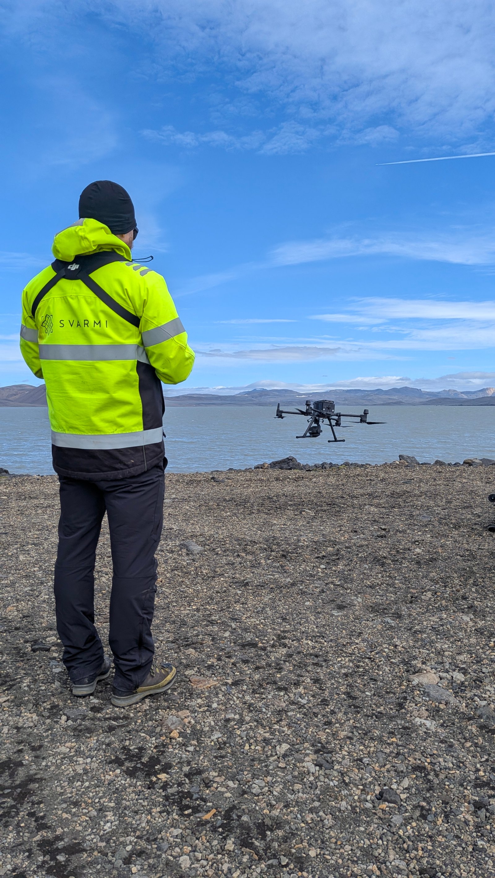
Svarmi handles the whole job: flight permissions, drone survey, processing, digitizing and set-up in DATACT. You get the finished product and a walkthrough.
- Licensed, compliant drone operation
- Infrastructure digitized with your greenkeeping team
- Data delivered and loaded into DATACT
You do it, we guide you
Have a drone and someone who wants to fly it? We train your team, set up the workflow and check the results, so the course can re-map itself every season.
- Flight planning and processing training
- Digitizing templates for course infrastructure
- DATACT set-up and ongoing support
Follow your expansion project from the clubhouse.
Building a new nine, reshaping bunkers, rerouting drainage? We put a DJI Dock 3 on site and DATACT flies it. The drone takes off on a schedule, photographs the works, charges itself, and the data goes straight into your course workspace. Every week you get a progress report the board, the contractor and the greens committee can all read.
For the length of a project
The dock is installed for the construction period, typically 3 to 18 months, and removed afterwards. Svarmi handles the permits.
Year-round course monitoring
Keep the dock after the works are done. The same automated flights track turf condition, flooding, storm damage and seasonal change.
Automated flight
A scheduled flight over the project area. Take-off, capture and charging with nobody on site.
Automated data capture
An orthomosaic and 3D model of the works, processed in the cloud.
Compared in DATACT
This week next to last week: earthworks volumes, drainage progress, areas seeded and established.
Progress report
A report with maps, measurements and photos. Good for contractor sign-off and for keeping members informed.
One platform for the whole course.
Every plan includes the map workspace, field capture on your phone and cloud processing. Drone surveys, digitizing and dock services are quoted separately. Start with a free trial, no card needed.
For one course with a small greenkeeping team.
- 3 internal users
- 1 guest user
- 1 public channel
- 50 cloud-processed images / month
- 250 GB storage
For clubs that share data with contractors, committees and consultants.
- 10 internal users
- 5 guest users
- 5 public channels
- 500 cloud-processed images / month
- 1 TB storage
For groups with several courses, resorts and dock installations.
- Unlimited internal and guest users
- Unlimited public channels
- Contract-based cloud processing
- Custom storage options
- Domain SSO, custom layers, GCP processing
Monthly or annual billing.
Ready to put your course
on the map?
Whether you want the full service or help doing it yourselves, we will get your course mapped, digitized and managed. Let's talk. Or start a free DATACT trial today.