CASE STUDY
Energy & Infrastructure
RARIK: Safeguarding Iceland's Power Grid Through Digital Twin Cable-Laying
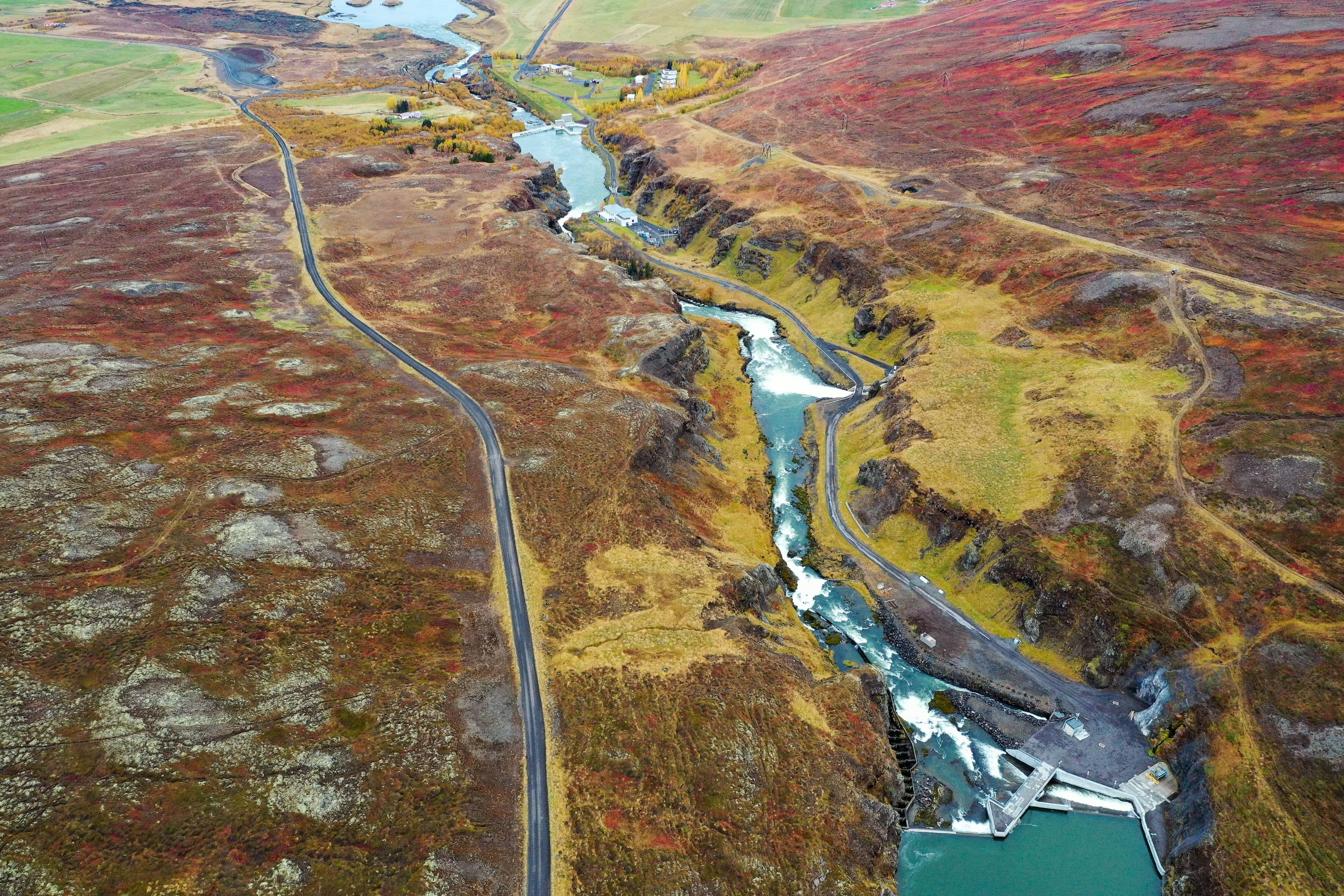
RARIK is responsible for a mission-critical task: providing reliable electricity distribution to the rural heart of Iceland. In a landscape defined by extreme conditions, moving the power grid underground is not just an upgrade - it is a necessity for national security and resilience. This case study examines how RARIK uses Svarmi's DATACT platform to manage, monitor, and document their massive underground cable-laying projects from start to finish.

About
RARIK
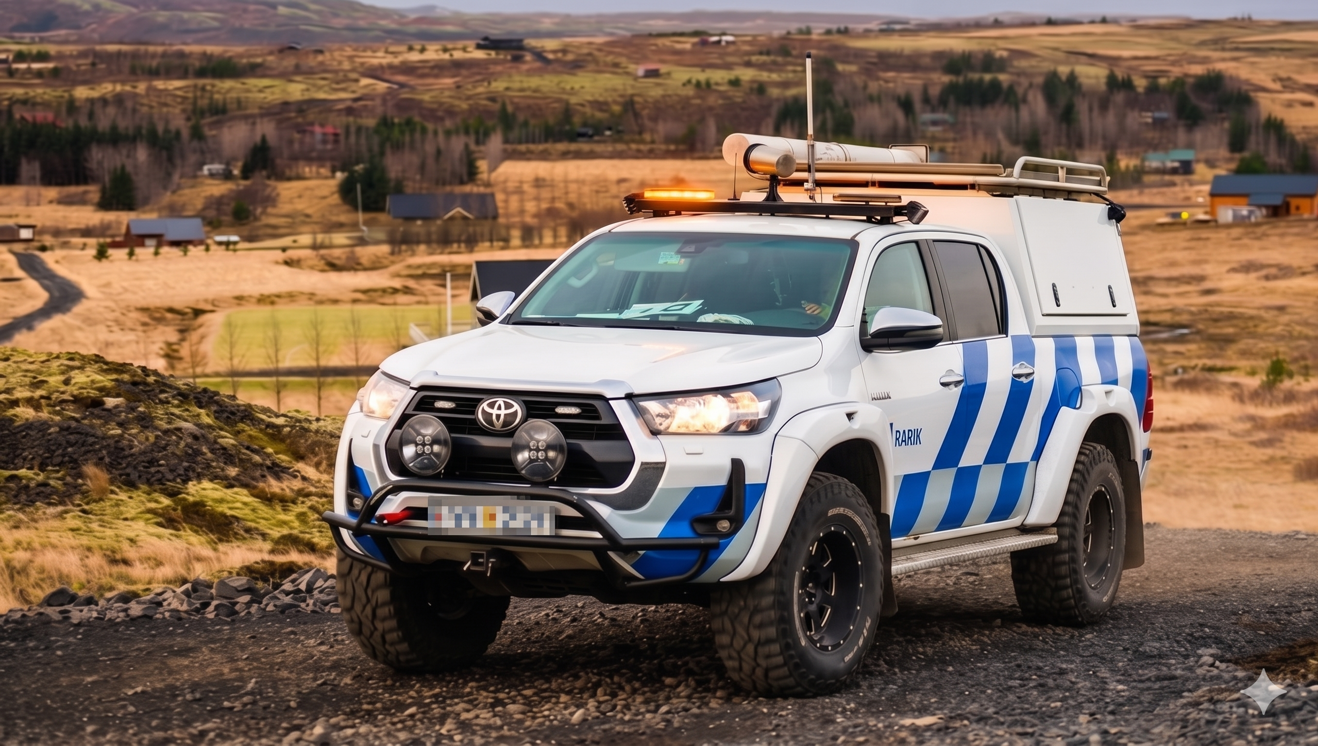
RARIK (Iceland State Electricity) plays a vital role in Iceland's infrastructure, distributing electricity across approximately 90% of the country's inhabited land area, excluding the major urban centers. Operating in an environment with some of the most challenging weather conditions on Earth - frequent sub-zero blizzards, gale-force winds, shifting geothermal grounds, and active volcanic systems — RARIK must maintain unshakeable grid reliability.
To secure the grid against climate-driven outages, RARIK is executing a multi-decade national initiative: transitioning hundreds of kilometers of vulnerable overhead electrical lines to resilient, buried underground cables. This enormous engineering endeavor is crucial for preserving the safety, security, and economic viability of Iceland's rural communities.

The Challenge
Challenge
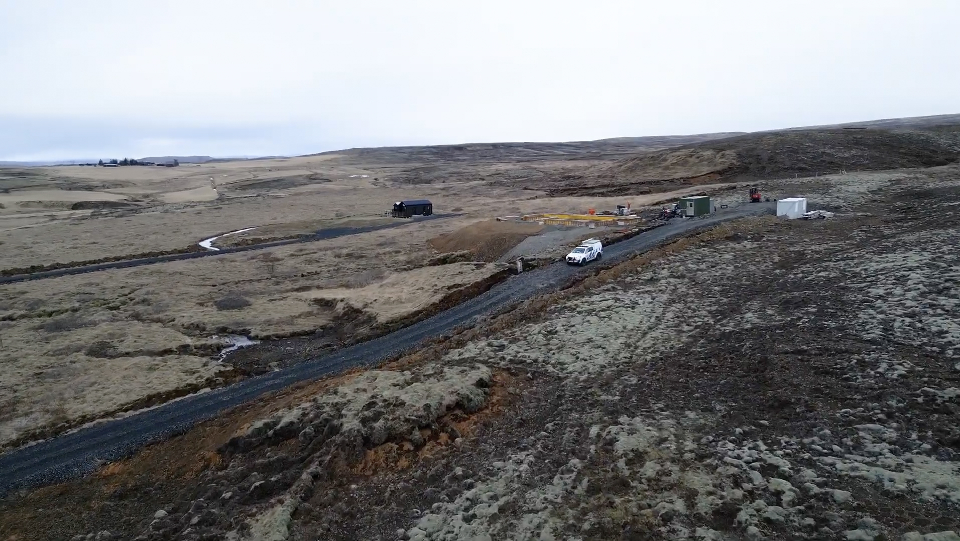
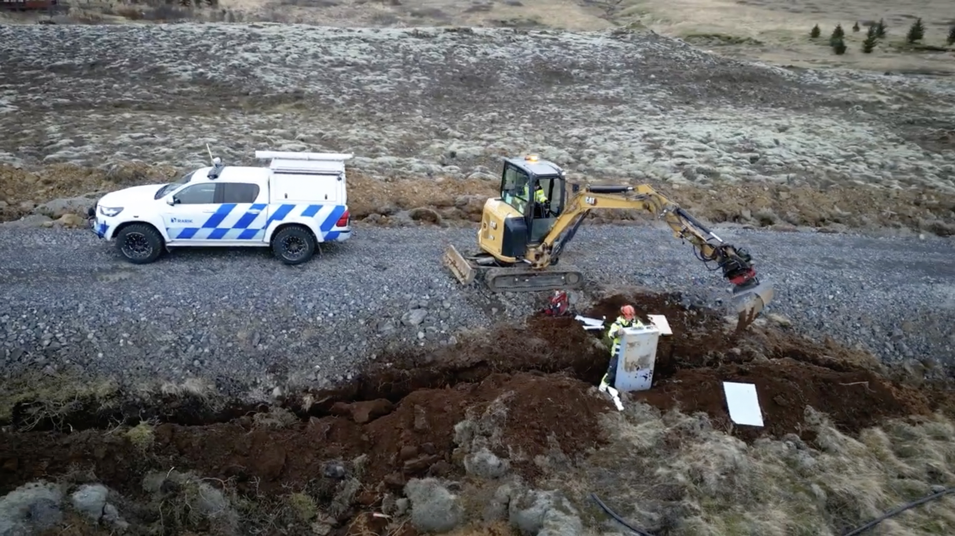
Laying underground cables across thousands of kilometers of rugged, unyielding wilderness presents immense logistical and spatial challenges. Unlike concentrated construction sites such as buildings or dams, cable-laying is a highly dynamic, linear project that progresses rapidly across vast geographic expanses. To manage this effectively, RARIK faced several core operational hurdles.
Linear scale and remote logistics: Excavation and plowing crews move across long distances of terrain every single day, which makes it difficult for traditional surveying teams to keep pace — leading to delays in verifying progress and updating plans.
The "as-buried" documentation window: High-voltage cables must be precisely geolocated and mapped while the trench is open. Once the trench is backfilled, the exact physical position of the cable is obscured. If the cable is not mapped before backfilling, there is a risk of losing high-accuracy spatial awareness.
Multi-contractor coordination: RARIK coordinates with numerous regional contractors, municipal inspectors, and landowners. Ensuring everyone has a shared, accurate, and up-to-date visual record of progress was historically slow, reliant on static PDF maps or manual spreadsheets.
The Solution
how we did it
To overcome these challenges, RARIK integrated Svarmi's DATACT platform directly into their project management and surveying workflow. DATACT is a cloud-based nature and geospatial data management platform that acts as a single, intuitive workspace for all drone imagery, maps, field observations, and 3D models.
Instead of relying on slow, specialized surveyor scheduling, RARIK's field crews and local drone operators can execute rapid, semi-automated aerial surveys of active trenches. The workflow is designed for maximum efficiency:
1. Capture: Operators fly a drone over active cable paths to capture high-resolution imagery.
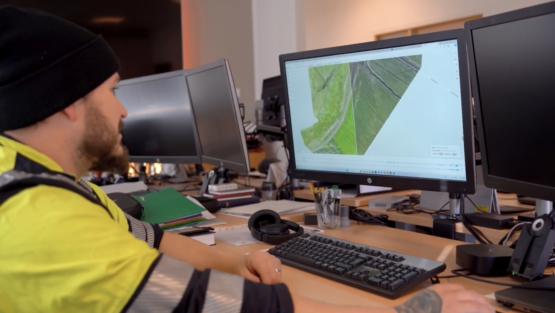
2. Drag-and-drop upload: Team members simply drag and drop the photos directly onto the map-based interface of DATACT.
3. Automated cloud processing: DATACT reads the embedded GPS coordinates, automatically maps every image, and processes the photogrammetry in the cloud. Within hours, RARIK receives an accurate 2D map/orthomosaic and a detailed 3D model (point cloud) of the cable trench.
4. Permanent digital archiving: The "as-buried" trench is permanently mapped, creating a precise georeferenced digital record of the cable's exact resting place before the earth is closed.
As utility networks worldwide adapt to clean energy transitions and changing climates, the need for rapid, visual, and highly accurate documentation is rising. The partnership between RARIK and Svarmi proves that digital twin technology, powered by DATACT, is no longer a luxury — it is a critical tool for infrastructure management. By digitizing their underground linear projects, RARIK is not just burying cables; they are building a modern, resilient foundation for the future of Iceland.


Implementation
& Experience
Learn more
about DATACT