Become a DATACT Partner
In short
We fly drones in some of the harshest environments on Earth, from Iceland and Greenland to Ethiopia. Everything we have learned went into DATACT, our software for drone data. Now you can use it too, and with the DATACT Partner Programme you can even earn money from it.
- Sign up easily and get your own custom DATACT link
- Share the link with your clients
- Earn 15% of the revenue from every client who signs up, for their first 5 years
Better tools for your own work, and a new income stream from the clients you already serve.

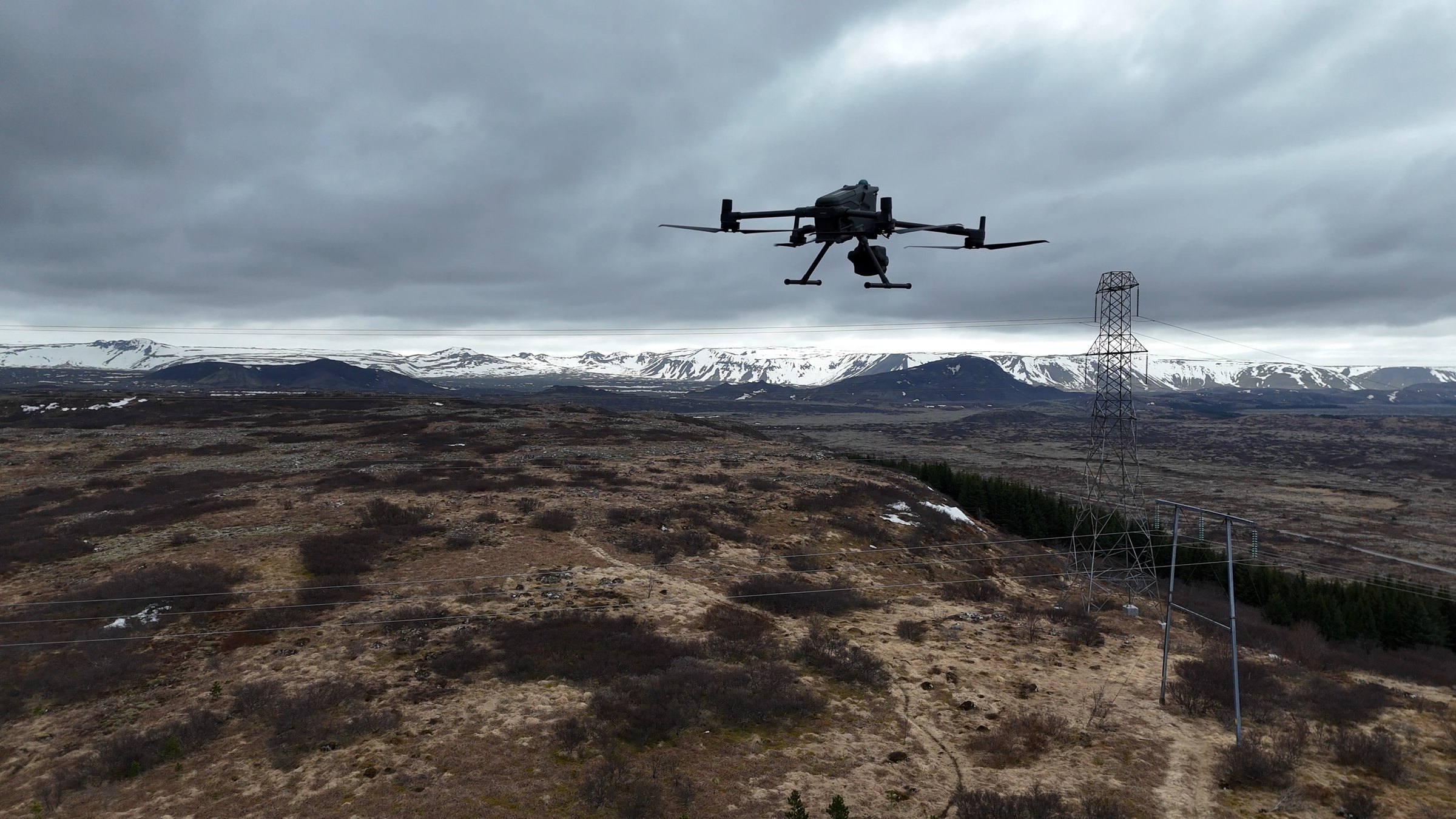
We fly in some of the harshest environments.
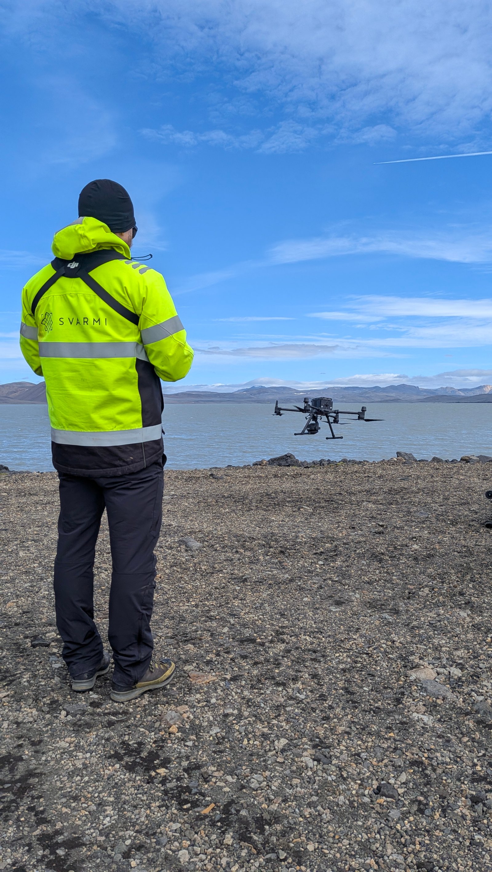
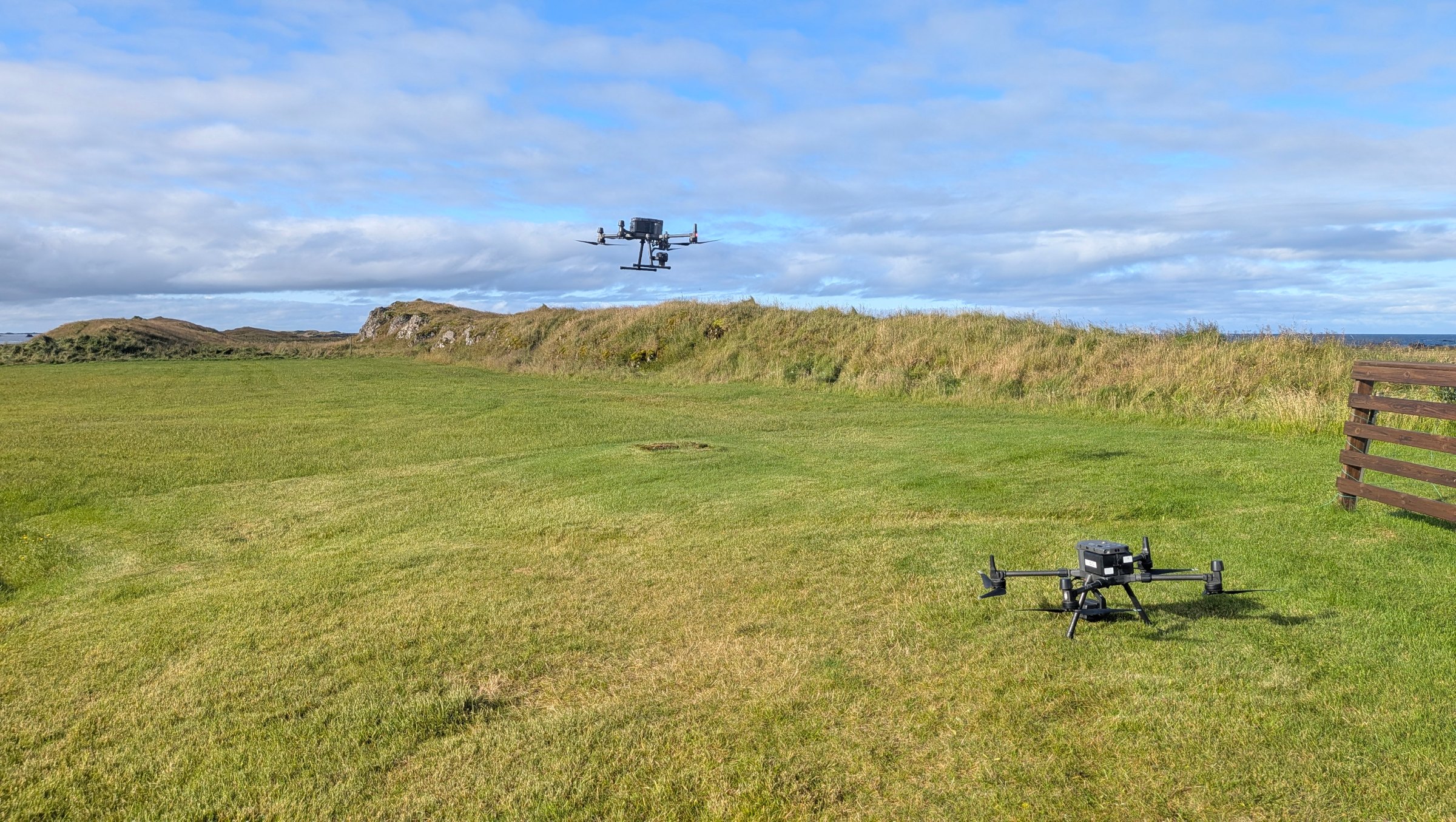
We are drone operators too. From the strong winds of Iceland and the glittering cold of Greenland to the soaring heat of Ethiopia, we fly where there is no room for error. We built DATACT to handle the data from those flights, and the same software is now available to drone operators worldwide.
Three steps to your first commission.
Joining is simple. You keep doing what you do best, flying and delivering data, and your clients get a professional platform to work with it.
Sign up as a partner
Tell us a little about you and your drone operation. Signing up for the DATACT Partner Programme takes just a few minutes.
Get your custom DATACT link
We give you a personal DATACT URL. Share it with your clients: in proposals, on your website, or when you hand over their data.
Earn 15% for 5 years
When a client signs up to DATACT through your link, you receive 15% of the revenue from that client over their first five years.
Explore DATACT →15% of the revenue. For five full years.
Not a one-off referral bonus. A long-term share of the revenue from every client you bring to DATACT.
Revenue share
You earn 15% of the DATACT revenue from every client who signs up with your link.
Recurring income
Your share runs for each client's first five years, not just their first invoice.
A link that is yours
A custom DATACT link, so every client who signs up is tracked back to you.
A better deliverable
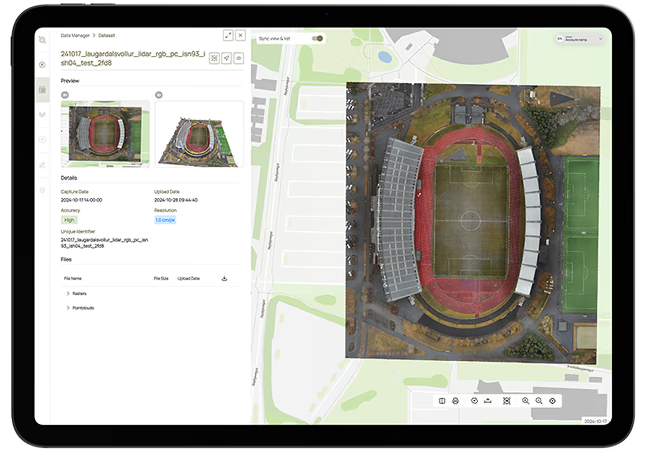
Hand over data in a professional map platform instead of a download link or a hard drive.

Use DATACT yourself. Earn from your clients.
You can do both: run your own operation in DATACT and invite your clients onto the same platform.
Run your operation in DATACT
The software we rely on in the Arctic, ready for your projects. Manage, process and deliver your drone data in one place.
- Post-flight data management
- Cloud processing to 2D maps and 3D models
- DJI Dock support for automated flights
Refer your clients and earn
Your clients get a platform to view, measure and share the data you deliver. You get a share of what they pay.
- Your own custom DATACT link
- 15% revenue share on every client
- Paid over each client's first 5 years
Software built by drone operators, for drone operators.
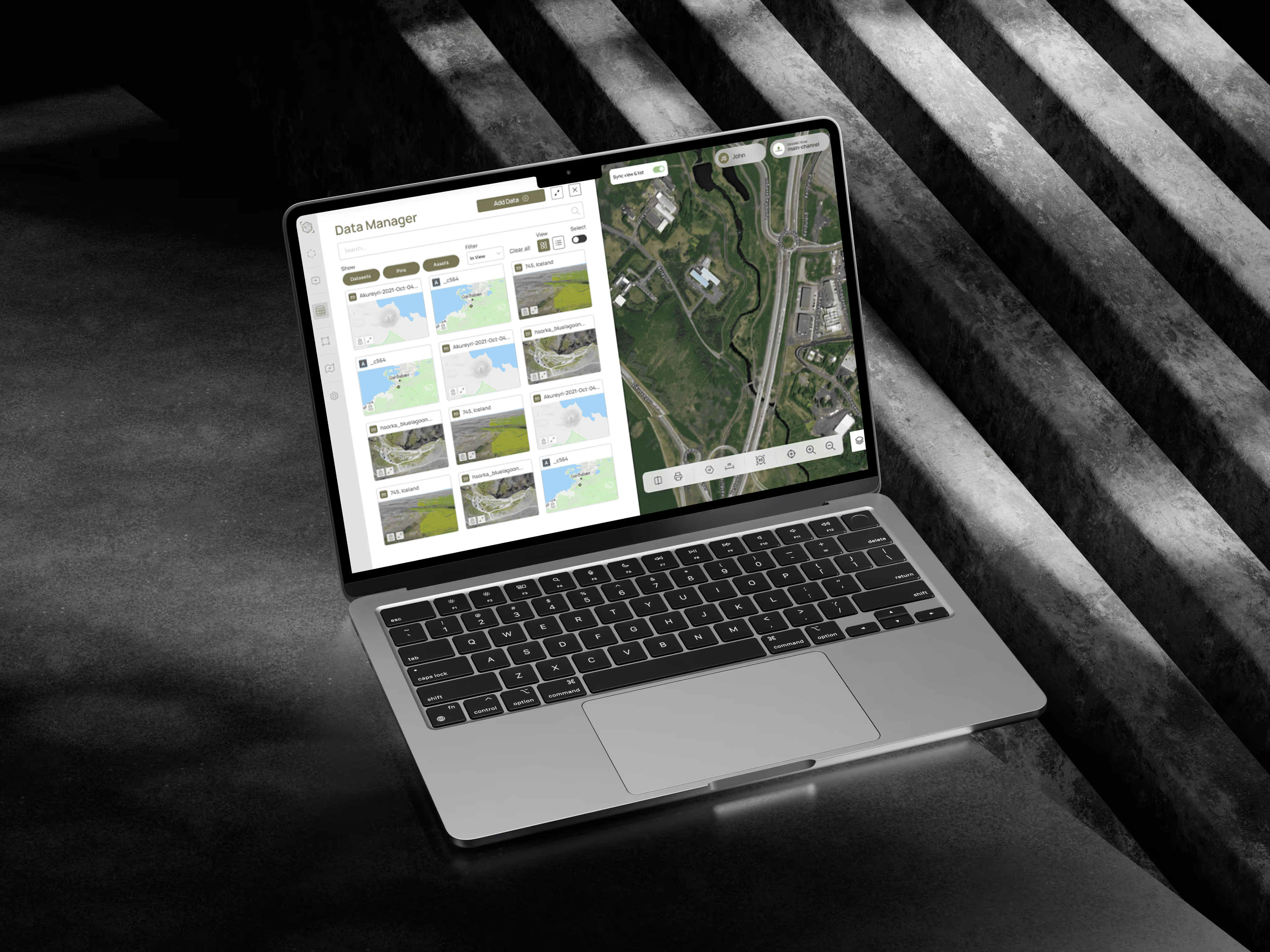
From the moment the drone lands to the moment your client opens the map, DATACT handles the data: storing, processing, sharing and adding context.
Data management that keeps up
Upload straight after landing. Images are placed on the map by their GPS position, so you find any flight, photo or dataset in seconds.
DJI Dock support
Connect a DJI Dock and run scheduled, automated flights, with the data going straight into DATACT and nobody needed on site.

Data processing
Turn raw images into orthomosaics and 3D models in the cloud. No workstation or manual setup needed.
Sharing and public channels
Share with clients and partners in private, shared or public channels, with role-based access control.
Layers and geoservices
Overlay satellite imagery and WMS, WMTS and WFS layers, and stream your data to QGIS or Esri.
Measure, compare, comment
Measurement tools, a 3D viewer, side-by-side dataset comparison and pinned comments for your team and clients.
Ready to become
a DATACT Partner?
Sign up in minutes, get your custom DATACT link and earn 15% of the revenue from every client you bring, for their first five years.