Flexible Delivery Models
Manage the world you measure
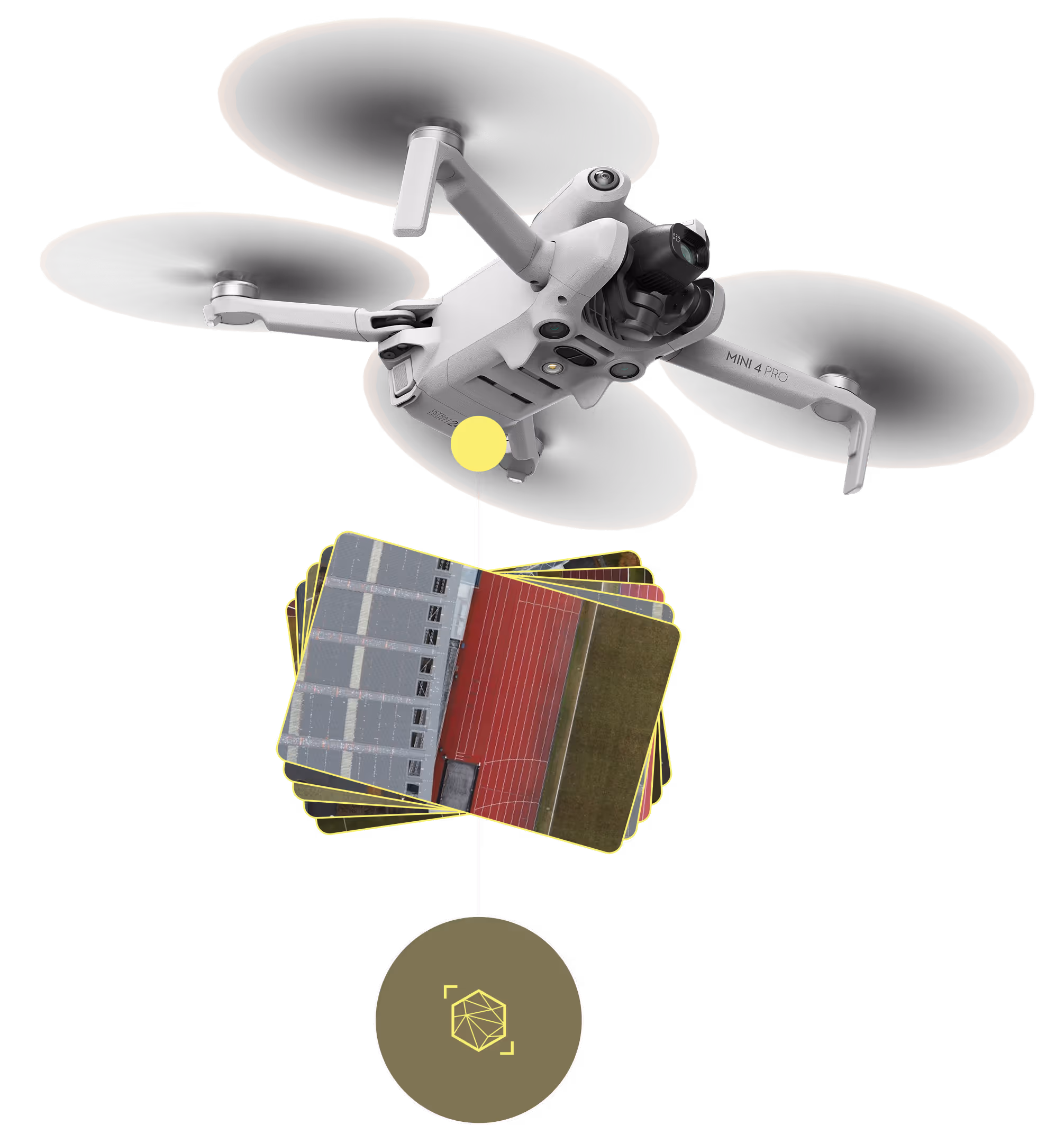
Through the software solution, our clients can onboard relevant data, including data collected by our teams and third-party data from satellites and local drone operators. Our nature data management software to address this.

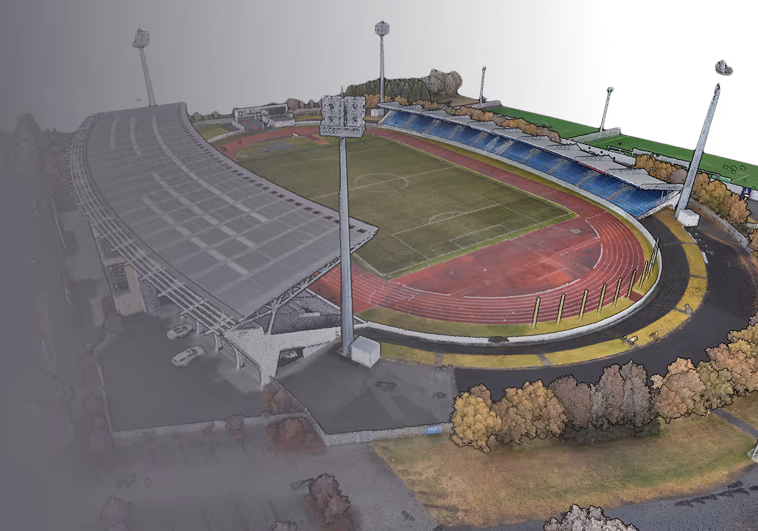
Transform Your Drone Photos into Stunning Maps and 3D Models
Flexible Delivery Models
Through the software solution, our clients can onboard relevant data, including data collected by our teams and third-party data from satellites and local drone operators. Our nature data management software to address this.
Start Making Your Nature Data Work for You
